

I was preparing for next week's lesson on contour and realised the cardboard model I made is in school. Decided to make some more from the styrofoam and cardboard box which came with a small table I just ordered. To illustrate that when the contour lines are close to each other, the slope of the hill or mountain is steep and when it is far apart it is gently sloping.
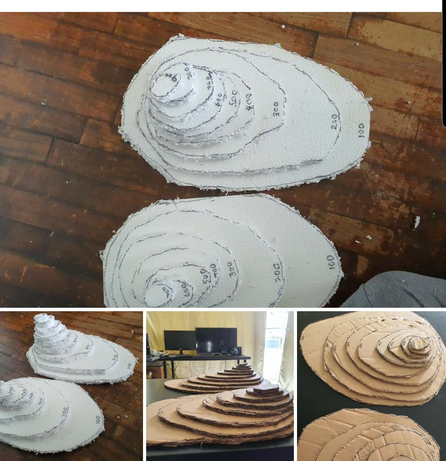
Will let the students play with this when they are back in school. Since I have more now, I can get them to arrange the model to show steep slopes on a certain compass direction(will cut 8 small square cardboards with the eight compass points written on each ). Then take a photo and upload on the padlet which I can embed in SLS. Alternative I can get them to upload on the interactive thinking tool in SLS.
My earlier post on some of the teaching models/aids I have created.
http://geogshare.blogspot.com/2018/03/self-made-teaching-aids.html?m=1
No comments:
Post a Comment